Traditional Noah’s Ark Site
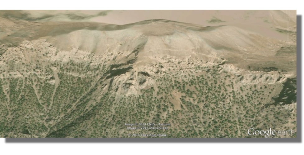
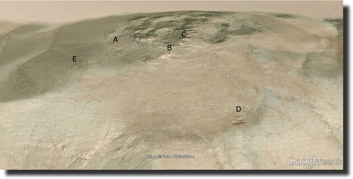
This is a quick overview of the summit of Mount Cudi to help put the site where pilgrims for centuries claimed to dig up pieces of the Ark in geographical context, along with the ruins of sacred structures surrounding it.
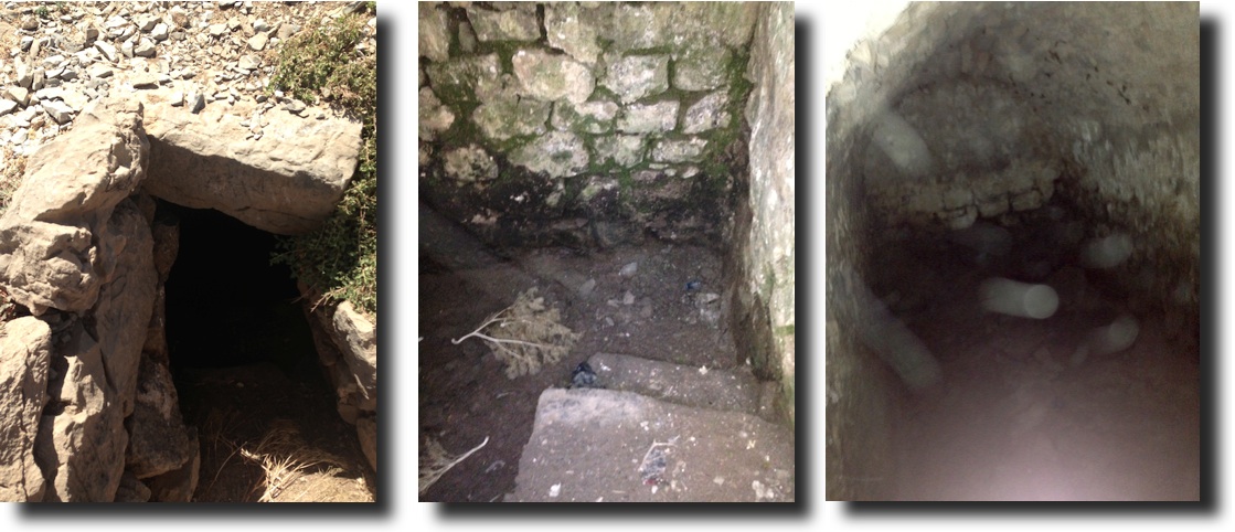
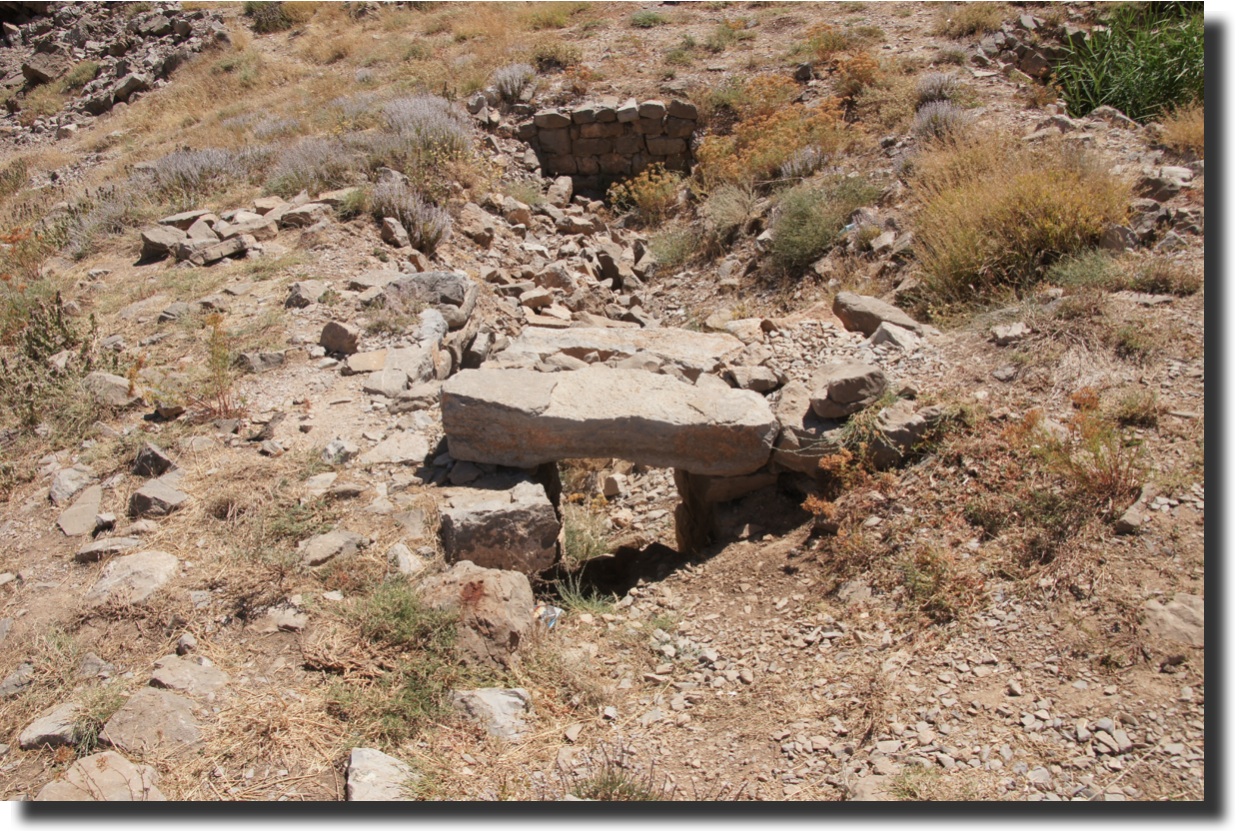
A. UNDERGROUND CHAMBERS
I almost missed this hole in the ground, and previous expeditions do not mention it:
Nearby, I found two large rectangular depressions with stone walls and an intact door lintel. Although Bell described “a tank fed by the winter snows” here, a comparison with the underground chamber (above) suggests that these were similar but caved in. The singular “tank” in Bell’s account implies that, as of her 1911 expedition, only one had collapsed:
B. THE CHURCH
This was the Christian portion of the summit. There was once a monastery on the summit that burned in a 776 AD lightning strike:
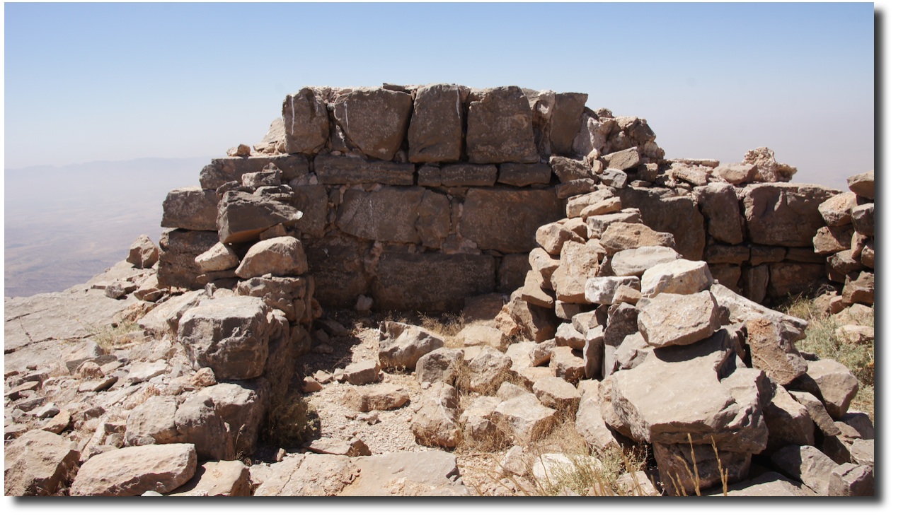
C. MUSLIM SHRINE
The Muslim shrine, here with inscription praising Allah, is the one building that Bell photographed:
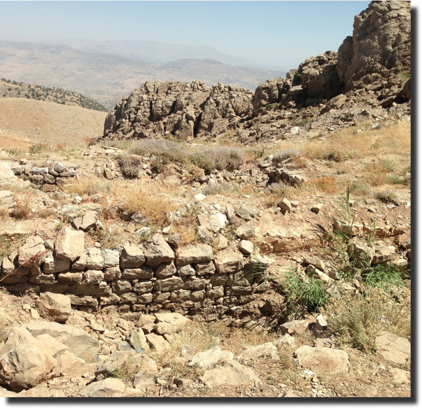
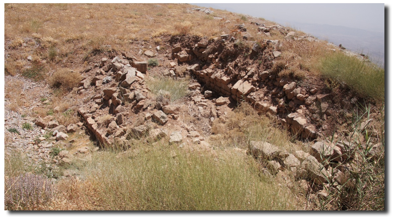
D. UNDERGROUND CHAMBERS
At the edge of a large plateau, I found what appeared to be more collapsed chambers. The masonry is of better quality here:
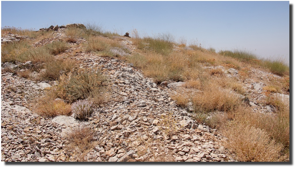
E. THE ARK?
This is what I came to see, the place where thousands of pilgrims and a couple of emperors came to dig up pieces of Noah’s Ark! I’m working on a better view of this for the next post:

November 8, 2014 @ 5:48 pm
Awesome pictures Stephen! This is a great selection of photos for the site. I’m starting to get a real feel for the location and the history from these posts. It’s great to be able to follow along with your adventures. Keep them up! : )
November 8, 2014 @ 8:08 pm
Wow, the underground chambers are amazing. The whole in the ground is very interesting – I wonder what that’s all about? Sad to see what happened to the church, as well. Be proud of yourself for going on these journeys to discover the truth.. It truly is fascinating!
November 9, 2014 @ 2:17 am
This blog has been an eye opener for me. I’ve often wondered about the story of Noah’s Ark, whether it was just that – a story, or it actually occurred. The fact that Mt Cudi was a place of pilgrimage and that people came from far and near to obtain pieces of the Ark is pretty convincing. Clearly there was something going on here. The ship shaped depression in the earth, not to mention the evidence of churches, shrines and cities nearby. Good food for thought. Great blog.
November 10, 2014 @ 9:55 am
What beautiful photos! It really allows you to feel as if you are there. One of my dream jobs is to be an archeologist and work at excavation sites… this is the next best thing. I would really love to see what lies under the surface. Thanks for sharing this!